PRODUCT
HOME>NAvVIS>NavVis SDK
NAVVIS POSITIONING SDK
Vision-based indoor positioning
Our breakthrough technology brings navigation indoors. No infrastructure needed.
![]()

Find your location by taking a picture
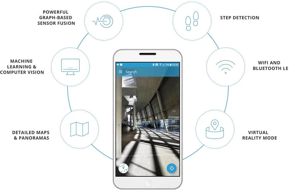
To find out where you are, take a picture using your smartphone camera. The app will recognize your surroundings and automatically determine your position. You can view your location as a blue dot on the 2D map or switch to panorama mode to see where you are in virtual reality.


Look up detailed building information
Search for specific locations or look up points of interest, even before you get there. You can also get important details, such as opening hours, menus and contact information. If you feel an important place is missing, you can even use the app to suggest points of interest.
Explore buildings in virtual reality
You don’t need to be there to see the building. Explore the indoors in virtual reality from anywhere using the app. You can also view the 2D map to get an overview of the floorplan and see what rooms are located where.


Experience 3D indoor navigation and routing
Experience indoor navigation in an entirely new way. Follow a virtual path in 3D to see exactly where you are going. You can also follow the blue dot on a 2D map or plan ahead with detailed routing information that takes you from Point A to B.
NAVVIS INDOOR NAVIGATION
Software development kit
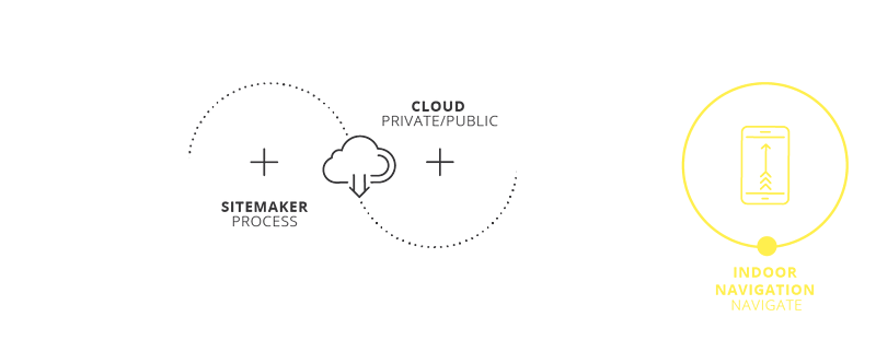
NavVis provides you with the SDK containing the source code and core functionalities necessary for you to deploy our positioning and navigation technologies within your own framework. You can integrate it into your exisiting apps or create a custom solution based on NavVis technology.

Technology features


Try it out now
Campus maps is the NavVis Indoor Navigation pilot project at the Technical University of Munich. Download the Campus Maps app now to try out our technology.
THE WORLD OF NavVIS


