NavVis VLX
Versatile Reality Capture
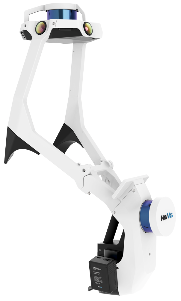
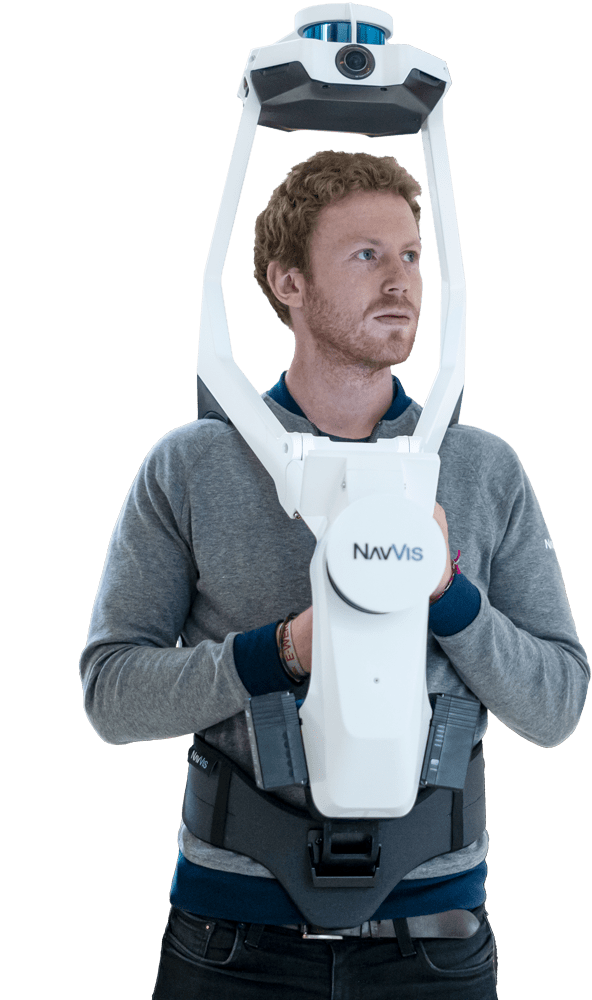
NavVis VLX is a wearable indoor mobile mapping system that enables high-quality reality capture in even the most complex buildings such as construction sites, staircases and technical rooms.
![]()

Dual LiDAR
Two multi-layer LiDAR sensors capture 3D measurements and enable industry-leading SLAM software in a combination that delivers survey-grade point cloud quality.
Complete 360° capture
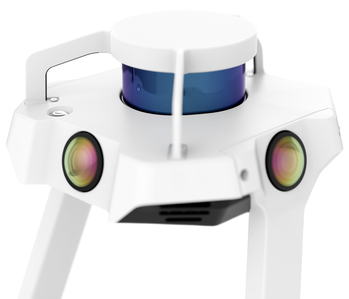
Four cameras positioned on top of the device take high resolution images in every direction and without the operator appearing in the field of view.
Built-in interface
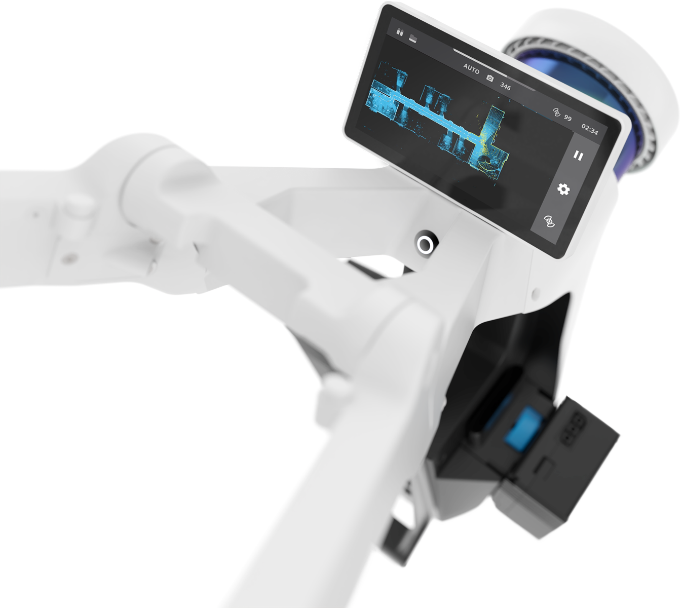
The touchscreen interface displays live feedback of what is being scanned and the data quality, and is built into the device to allow hands-free scanning
Compact
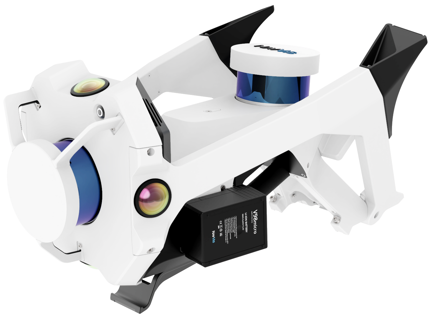
The compact design folds up into one case enabling single operator set up and transport.
Forward-looking
A new design for wearable mapping hardware that is strategically positioned at the front to enable targeted scanning as well as viewing of the built-in screen.
Control points
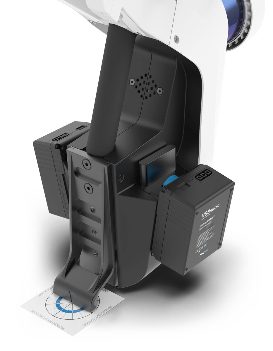
For survey-grade accuracy and automatic dataset alignment, NavVis VLX is compatible with ground and wall control points.
NavVis mobile mapping software features state-of-the-art SLAM technology that delivers survey-grade point cloud quality. Learn more about what sets NavVis mapping software apart or download NavVis VLX sample data to experience the difference.


