NAVVIS M6 INDOOR MOBILE MAPPING SYSTEM
Next-Generation SLAM Reality Capture
Fast, all-in-one mobile scanning captures 360° immersive imagery and the best-in-class point clouds without compromising data quality
![]()

Speed
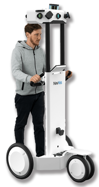
NavVis brings all-in-one reality capture to even the largest indoor environments. The NavVis M6 indoor mobile mapping system is designed for large-scale scanning projects where data quality matters. You can now automatically capture point clouds, 360° immersive imagery, and sensor data at the speed of walking through a building.
- Scan up to 30x faster than with stationary scanners and devices
- Capture up to 30,000 square meters per day
- Adapt to complex indoor environments while continuously scanning
… Meets Accuracy …
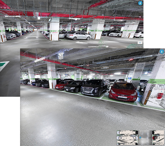
Fast data capture does not have to mean compromising on quality. The NavVis M6 combines a mobile LiDAR system with our innovative mapping software to facilitate survey-grade scans. At the same time, the multi-camera head captures dense 360° imagery.
- All-in-one capture: photorealistic point clouds, 360° imagery, Bluetooth beacons, Wifi signals, magnetic field data
- 6D SLAM: The M6 accurately maps changes in elevation and uneven surfaces in 6 degrees-of-freedom
- High accuracy and low drift: The new 6D SLAM system includes our renowned Precision SLAM technology to reduce drift error
… to revolutionize Mobile Scanning
NavVis improves scanning by making it faster and easier to capture indoor data. A single operator can transport, assemble, and scan with M6. The integrated workflow from device setup to data publishing results in faster turnaround and less time spent scanning.
- Easy to assemble and can be transported in a hatchback
- Integrated workflow from device set up to data publishing
- Optional ground control points are compatible with the NavVis workflow
Discover the difference
Find out how the NavVis M6 mobile mapping system can change the way you capture indoor environments. Designed for speed, usability and accuracy, the M6 can quickly capture even the most complex indoor environments. M6 is an all-in-one mobile mapping system that lets you capture reality without compromising on accuracy.
Snaps into place
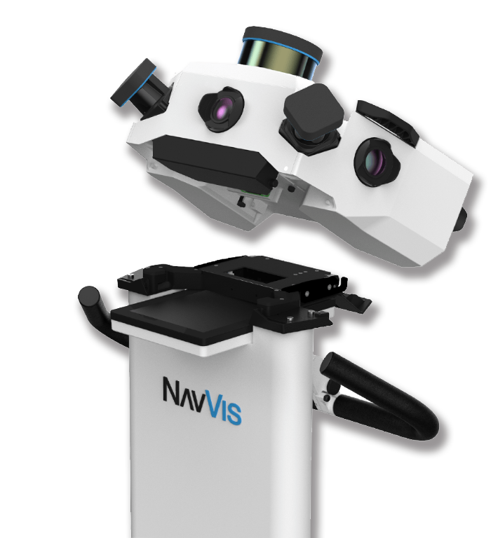
You don’t need any tools to assemble the M6. Just take the parts out of the case and snap it into place. A single operator can put it together and take it apart, which makes it easier to transport. During mappings, adjust the height or flip the wheels inside if your hallways get narrower or your ceilings get lower.
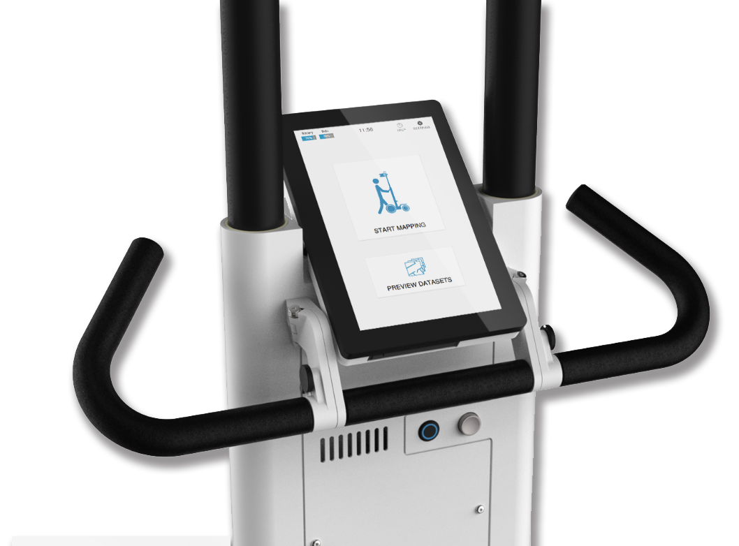
One tap to start
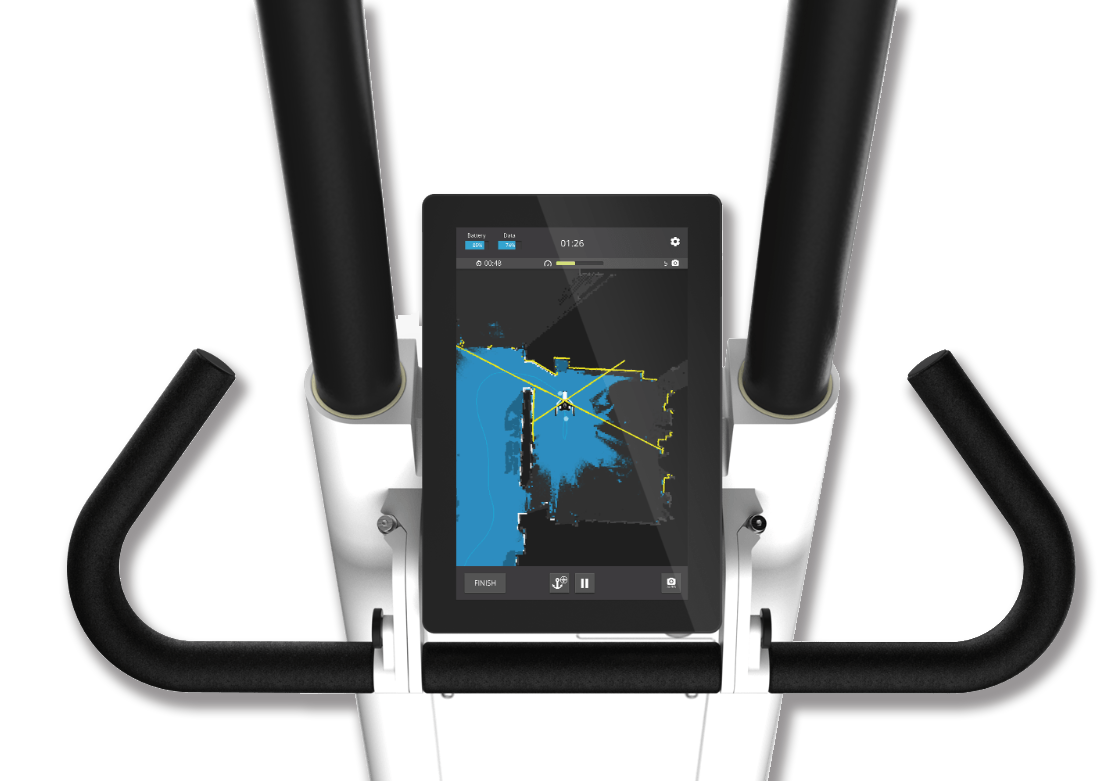
The M6 features a powerful yet easy-to use interface that simplifies scanning. Just press record to get started and the data is automatically captured as the operator pushes M6 through an indoor environment. Real-time feedback on the screen lets operators keep track of areas already scanned.
Conquer every environment
Challenging indoor environments won’t slow you down with M6. Keep scanning on uneven ground, up ramps, down narrow corridors and in open spaces. Featuring 6D SLAM that allows you to move the device in six degrees of freedom, the M6 is engineered for versatile scanning.

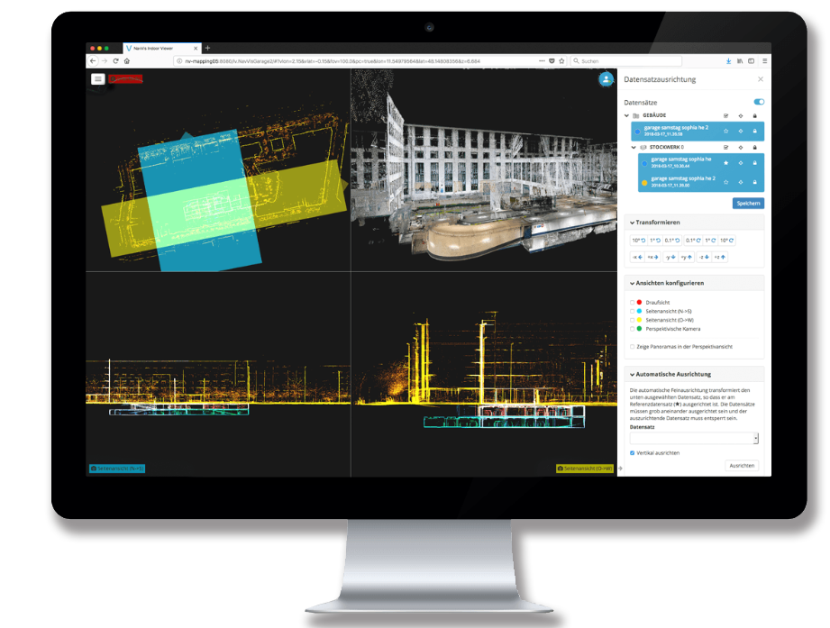
Seamless workflow
From start to finish, capturing reality with NavVis is a seamless process. Data is stored on a removable SSD drive, can be easily transferred to your workstations and processed by NavVis Sitemaker software, resulting in fast turnaround. Publish data in NavVis IndoorViewer or import it to CAD software.
High quality reality capture
Mobile scanning no longer means compromising on quality. Four laser scanners are arranged to capture high-density point clouds while six cameras take high resolution pictures that provide immersive 360° walkthroughs. Keep scanning without having to worry about the operator appearing in the images, thanks to an innovative design.

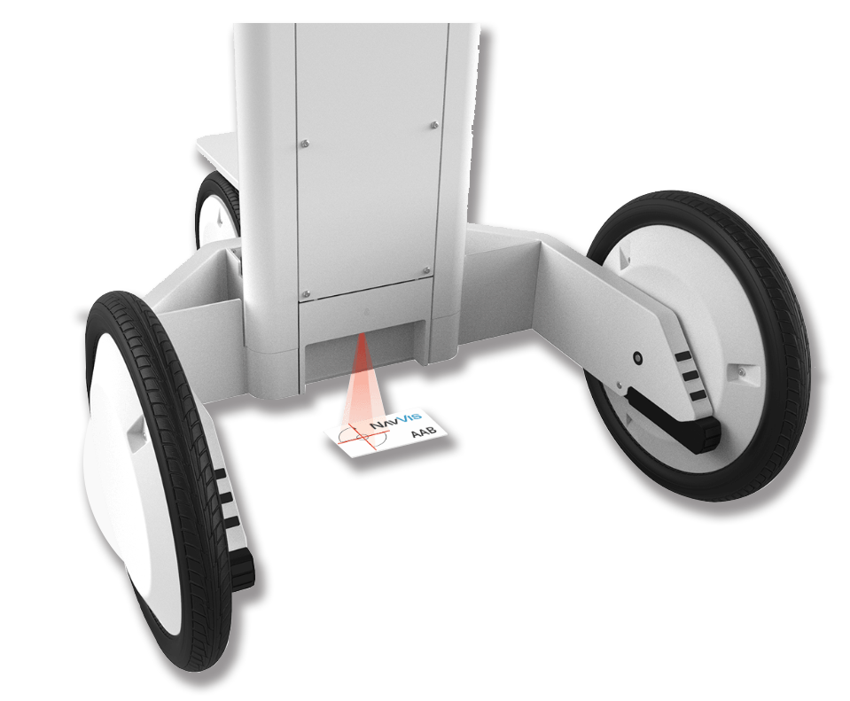
Survey-grade results
The algorithms powering our device were developed with a focus on providing survey-grade point clouds even while you move. Take accuracy to the next level by including “SLAM anchor” surveying markers. “SLAM anchors” are ground control points compatible with NavVis technology that will increase accuracy and automate geo-referencing during data processing.
Designed for transport
The M6 is made to go with you, wherever you need to scan. Take it apart and put it into the four custom cases that have been designed to go where you need to scan. Take them in the trunk of a car or as checked in luggage on your flight.

FIND MORE DETAILS ON THE DATA OUTPUT BELOW
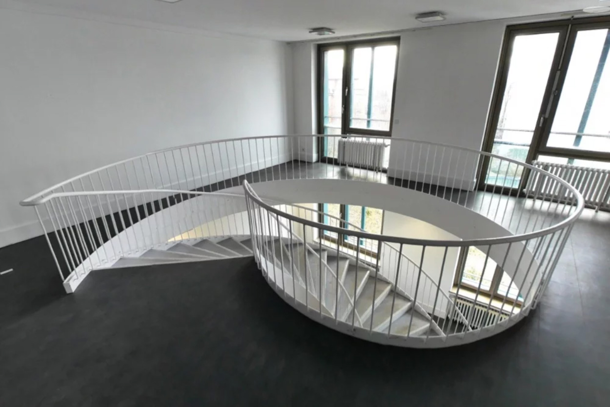
360° IMAGES
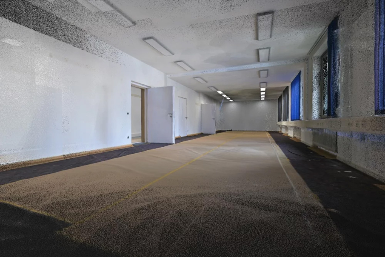
6 high resolution cameras
–
Images: 6 x 16 megapixel
–
Optimized for high dynamic range and low-light
POINT CLOUDS
3 single layer laser scanners
–
1 multi-layer laserscanner
–
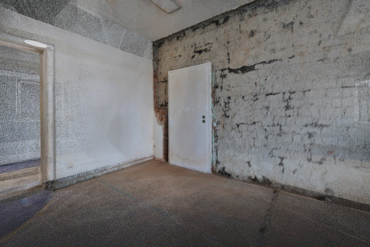
Photorealistic point clouds: up to 5mm resolution
–
Point cloud formats: LAS, PLY, PTS, XYZ, E57
FLOORPLANS
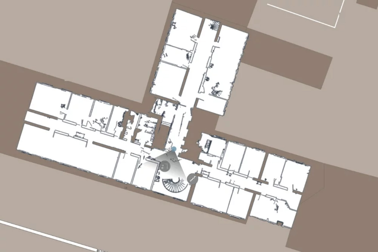
Autogenerated 2D maps
–
Create CAD floorplans and BIM models with point cloud data
–
Publish floorplans (dxf) in IndoorViewer
INFRASTRUCTURE DATA
Navigation graph
–
Bluetooth data
–
Wifi signals
–
Earth magnetic field data


